Spectacular Big Sur
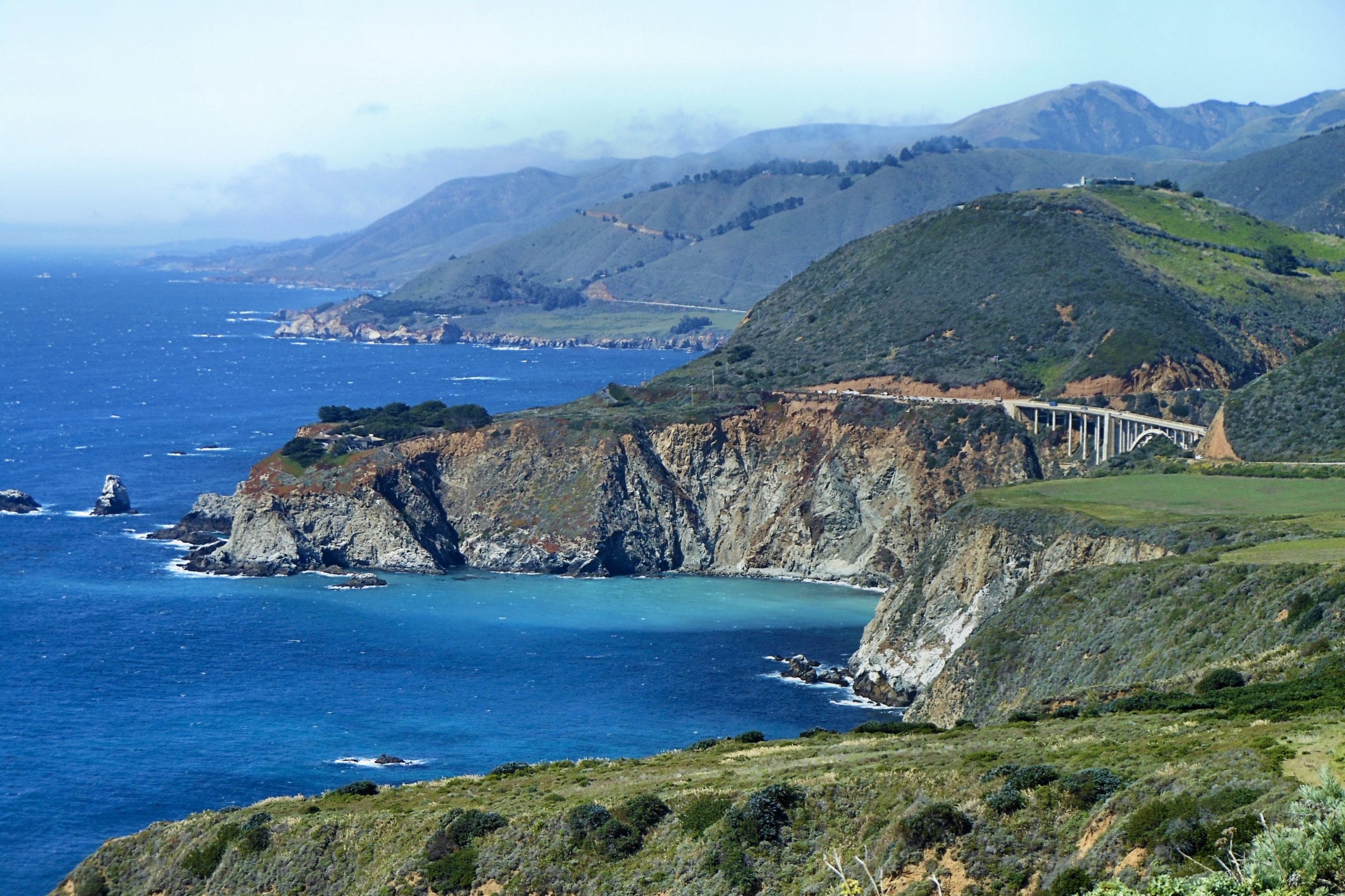
View of the Big Sur Coastline from US Highway 1
Text & photos by Scott McIntire
Situated along a 90-mile stretch of California’s scenic central coast and extending inland to the flanks of the Santa Lucia Mountains, the Big Sur region is renowned for its stunning and picturesque views of natural grandeur that can be enjoyed through its state parks and beaches, and via the numerous coastal vista points in the form of well-placed unpaved turn-outs along US Highway 1.
Big Sur is also famous for its tremendous biodiversity owing to its many climates and ecosystems, and offers miles of coastal and inland trails from which its flora and fauna can be appreciated. Given the low elevation of the coastal slopes and the nighttime fog that routinely moves in, Big Sur contains the southernmost habitat of the majestic coast redwood (Sequoia sempervirens), and a trip to the region would not be complete without some time spent on the forest trails amid the towering redwoods.
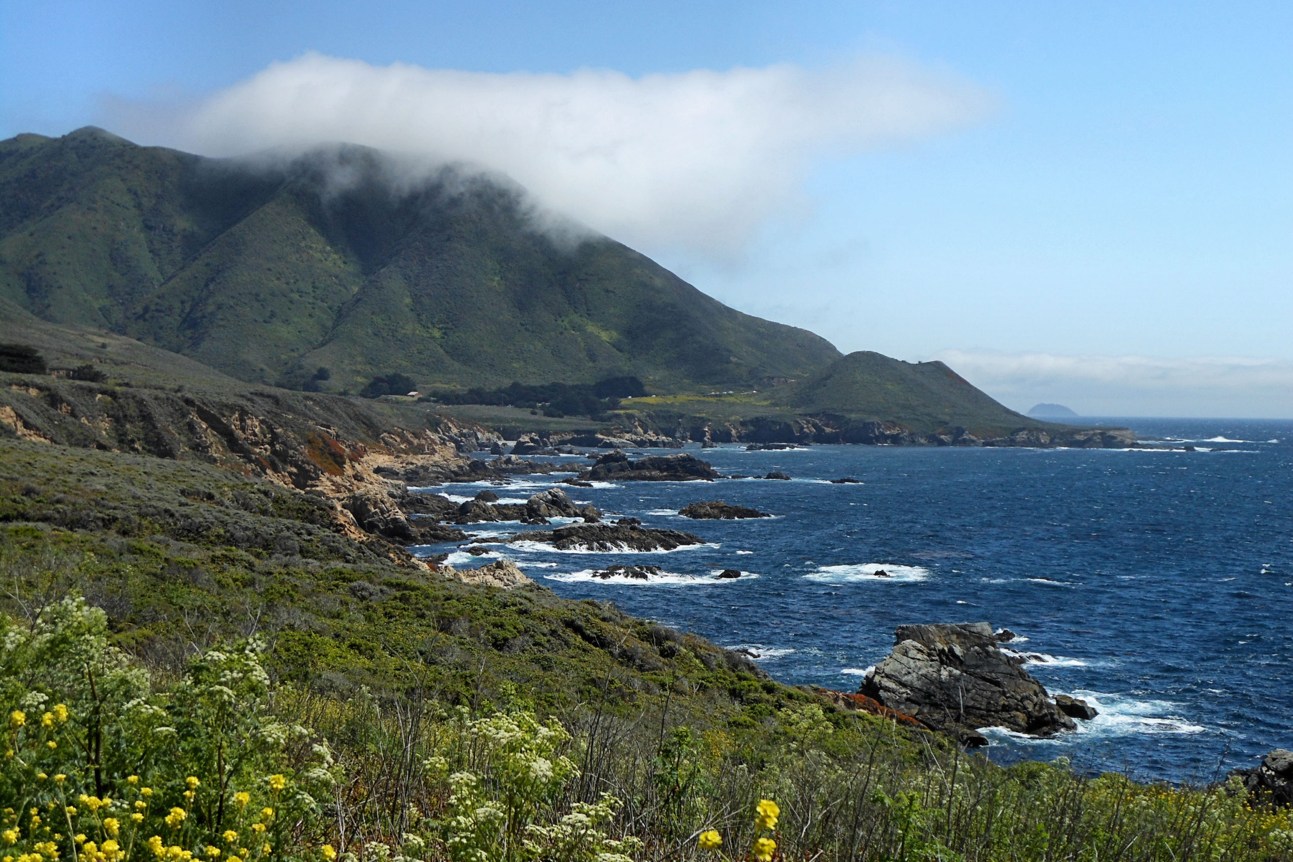
The Big Sur coastline from a turn-out on US Highway 1.
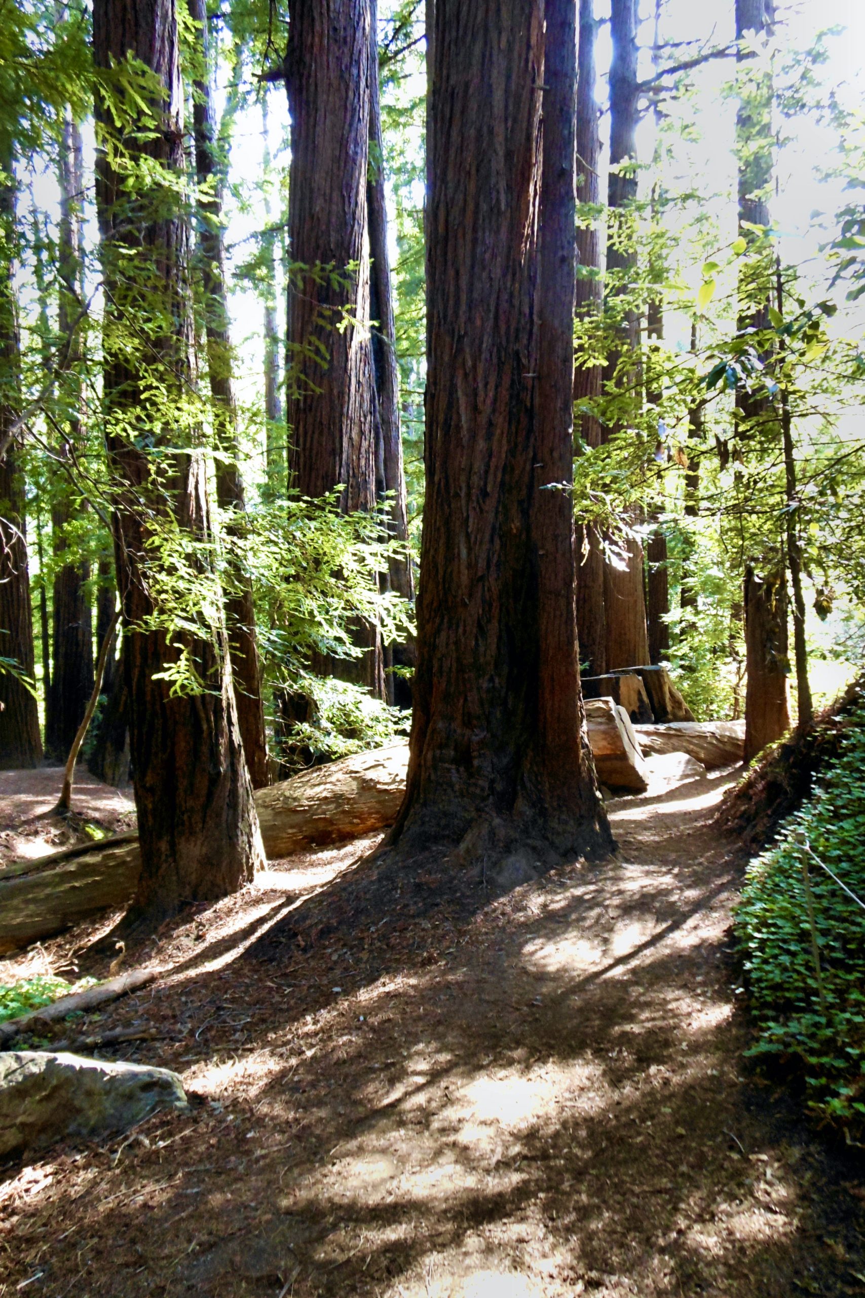
Giant Redwoods in Pfeiffer Big Sur State Park
The boundaries of Big Sur are roughly defined as the section of coastline extending from the Carmel River south to the San Carpoforo Creek. The Big Sur Valley is located 26 miles south of Carmel, nestled amid the Ventana Wilderness Area and Los Padres National Forest. The name Big Sur comes from the original Spanish-language El Sur Grande, meaning “the big south”.
The sparsely-populated Big Sur region contains nine state parks and two federal wilderness areas, with the iconic Bixby Creek Bridge, Nineteenth Century lighthouse at the Point Sur Light Station, and the seaside 80-foot McWay Falls in Julia Pfeiffer Burns State Park being noteworthy points of interest. Though Big Sur has no urban areas per se, there are a few clusters of gas stations, restaurants, and motels along Highway 1, with most located in the hamlet of Big Sur, about 2 miles north of the Pfeiffer Big Sur State Park entrance.
California Parks & Recreation provides a good online resource for planning trips to the region, particularly for finding out ahead of time which hiking trails for a given park may be closed for repair. One caution: Poison Oak is found in abundance at Big Sur.
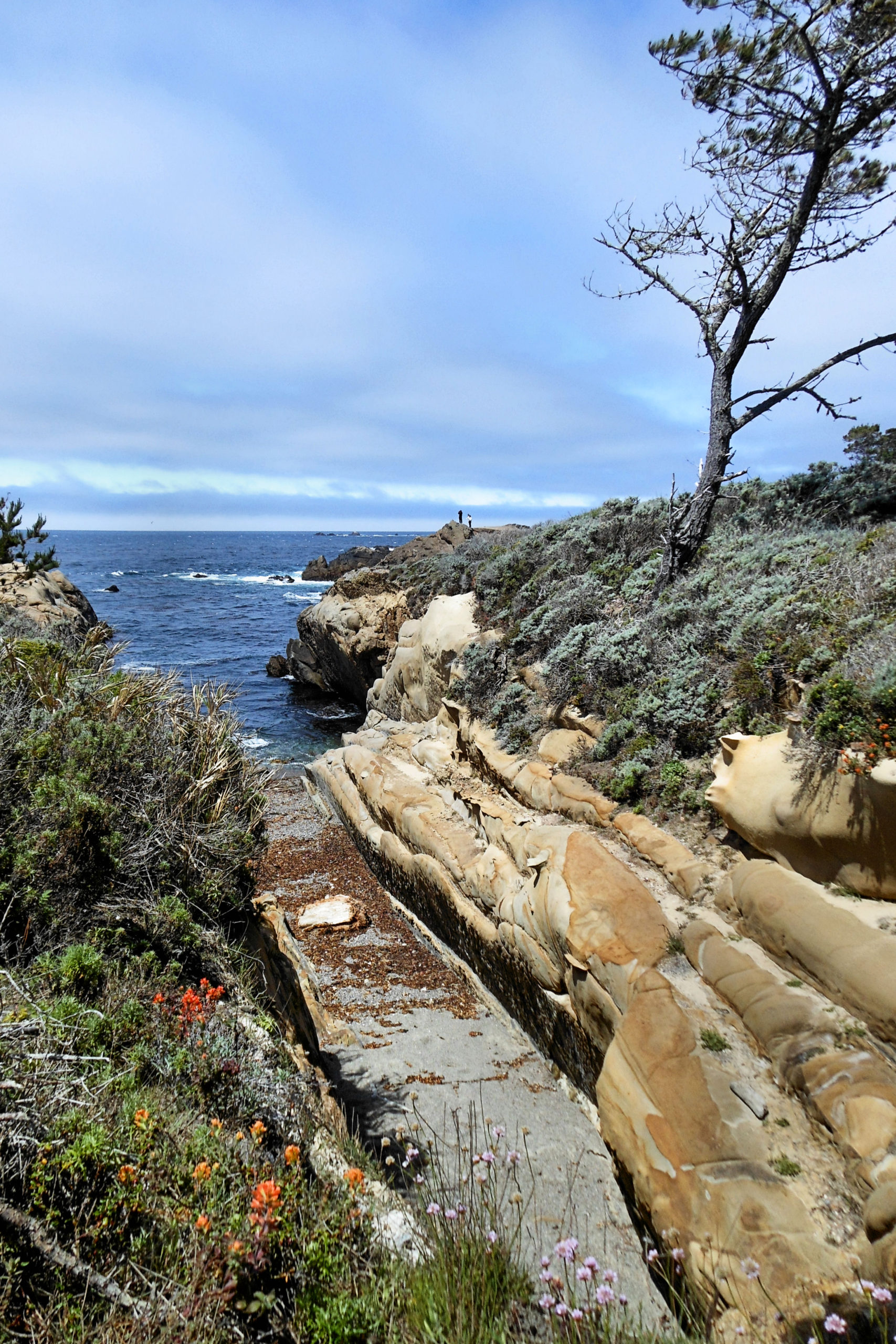
Point Lobos State Preserve
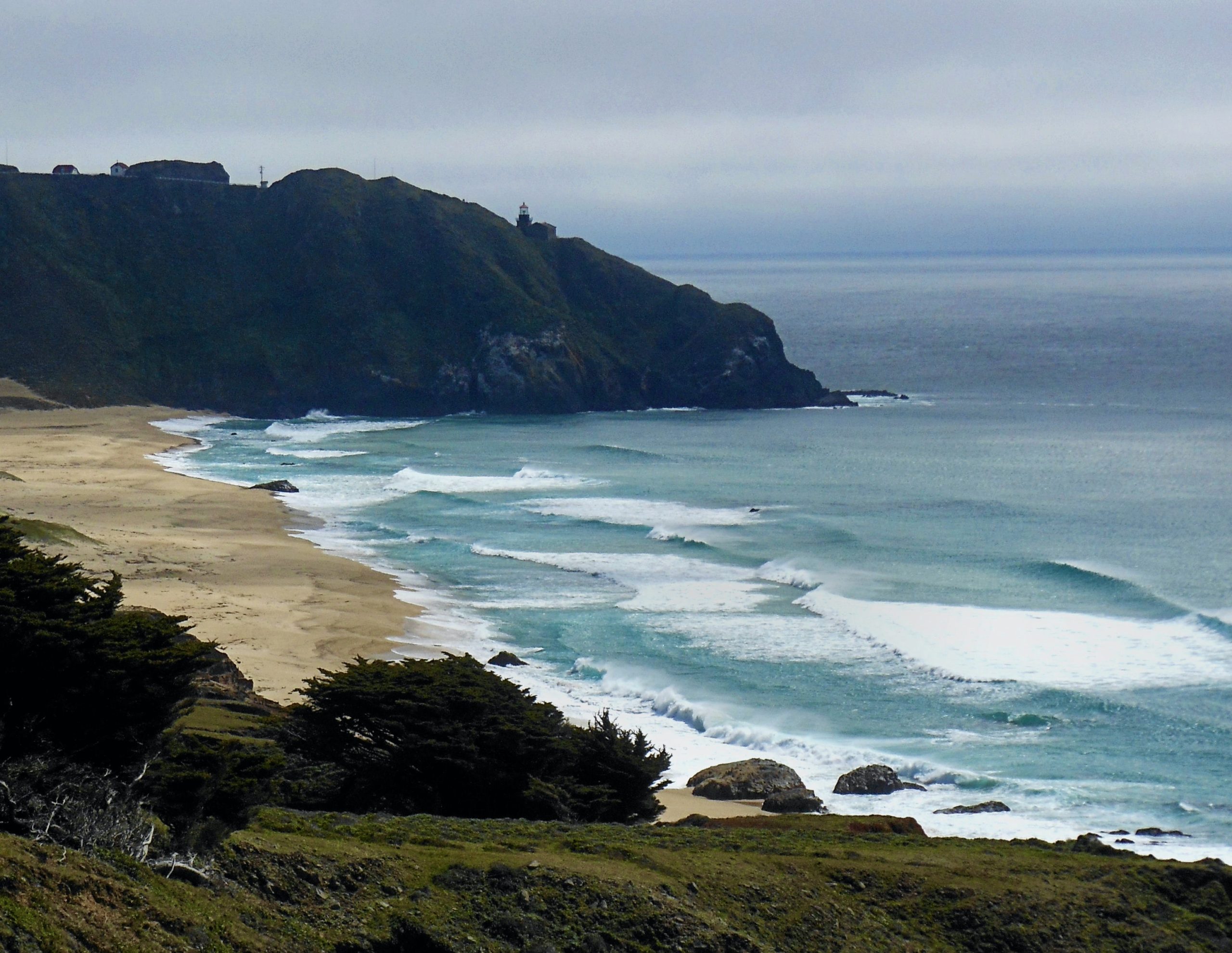
Foggy morning at Point Sur Light Station from Highway 1
The landscape artist Francis McComas once described Point Lobos as “…the greatest meeting of land and water in the world.” The reserve’s extensive system of trails showcase the splendor of the area’s coastal and inland habitats; in addition to the variety of sea birds and marine mammals seen during a visit, migrating Gray Whales can also be spotted off the coast between December and May (binoculars recommended). As Point Lobos is a nature reserve, it should be noted that no dogs or any other pets may be brought into Point Lobos; exceptions are made for guide dogs for the blind and other certified service dogs.
Hidden Beach provides some fantastic views of the rugged shoreline once the coastal fog has burned off. At the back of the picnic area is the start of the inland Pine Ridge Trail, which meanders through stands of Monterey Pines whose branches are trimmed with the gray stringy lichen which thrives in a cool and humid climate where there is little sun.
A roughly 30-minute hike from the start of the Pine Ridge Trail will lead to the Whalers Cabin and Whaling Station Museums, which overlook Whalers Cove and the nearby nursery grounds of the resident Harbor Seals on the north side of the point. The route, which after a short distance branches left to follow a circuit which links sections of the Lace Lichen, North Shore and Cabin trails, provides picturesque views of Bluefish Cove and likely also some Harbor Seals sunbathing on the small patch of beach below the vista point that’s located near the junction of the Lace Lichen and North Shore trails.
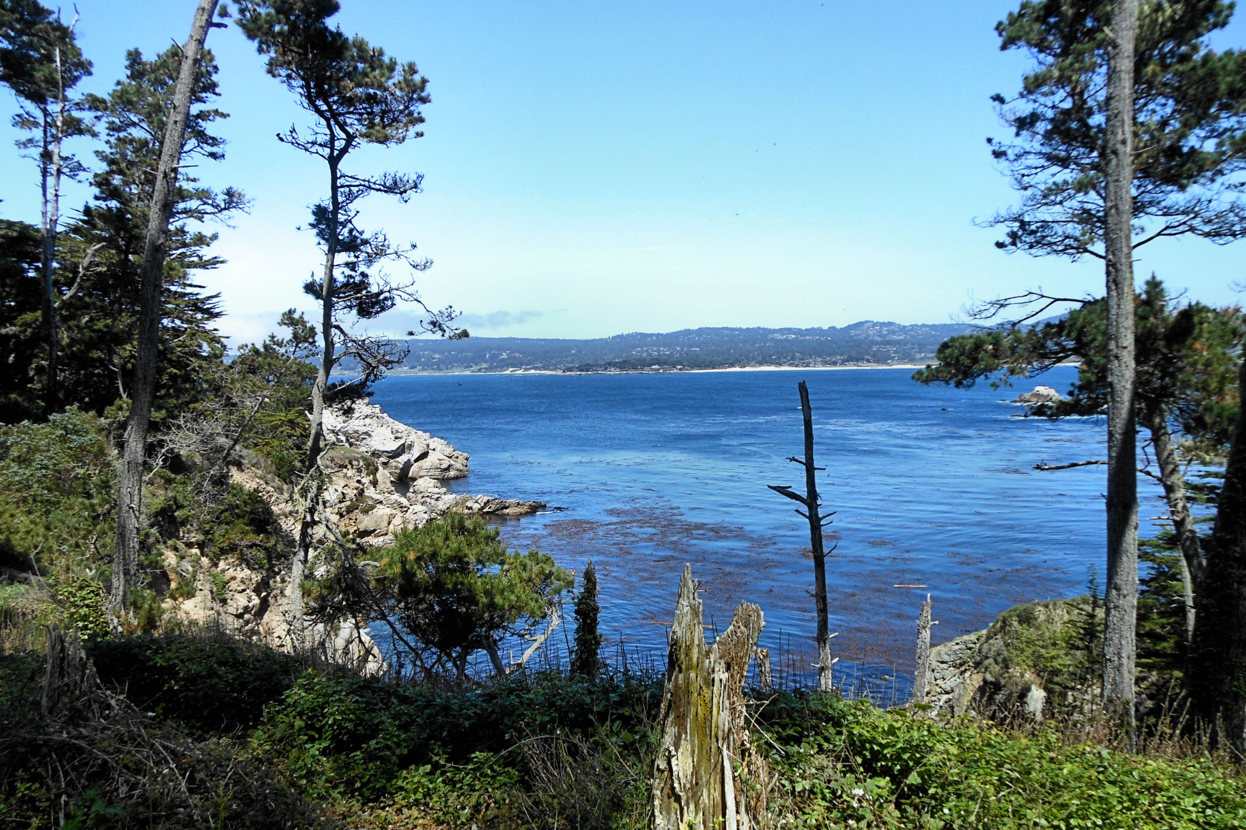
Bluefish Cove from the North Shore Trail, Point Lobos
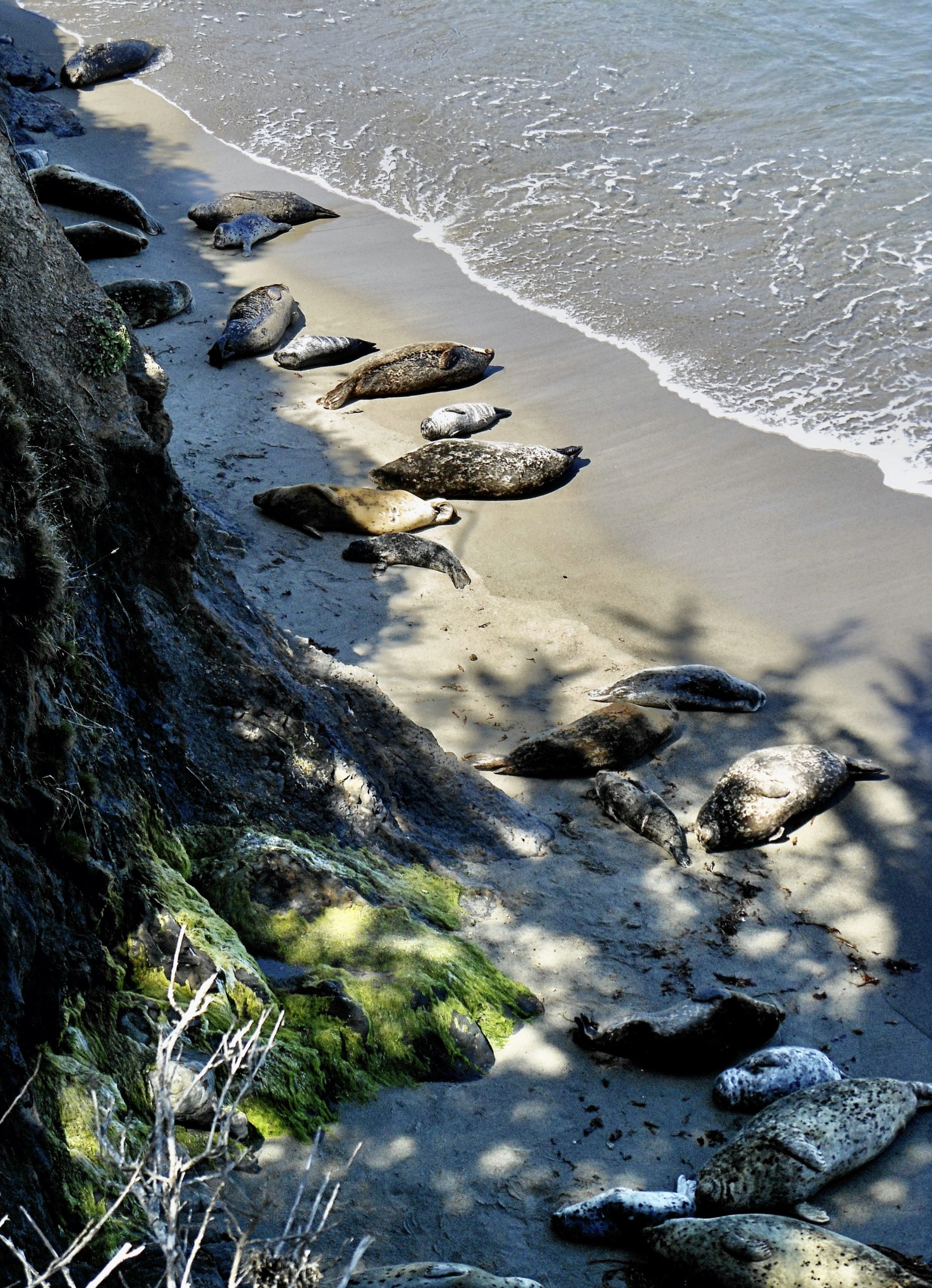
Harbor Seals sunbathe at Whalers Cove
“In the vicinity of the historic lighthouse at Point Sur, Highway 1 leaves the coast and, after passing the Andrew Molera State Park, soon winds its way through the redwoods, campgrounds and scattered roadside conveniences of the scenic Big Sur Valley, and the entrance to Pfeiffer State Park. The Pfeiffer Falls and Valley View trails include the park’s finest redwood grove, the 60 foot high Pfeiffer Falls, and picturesque views of the valley and Point Sur in the distance from the trail’s end.”
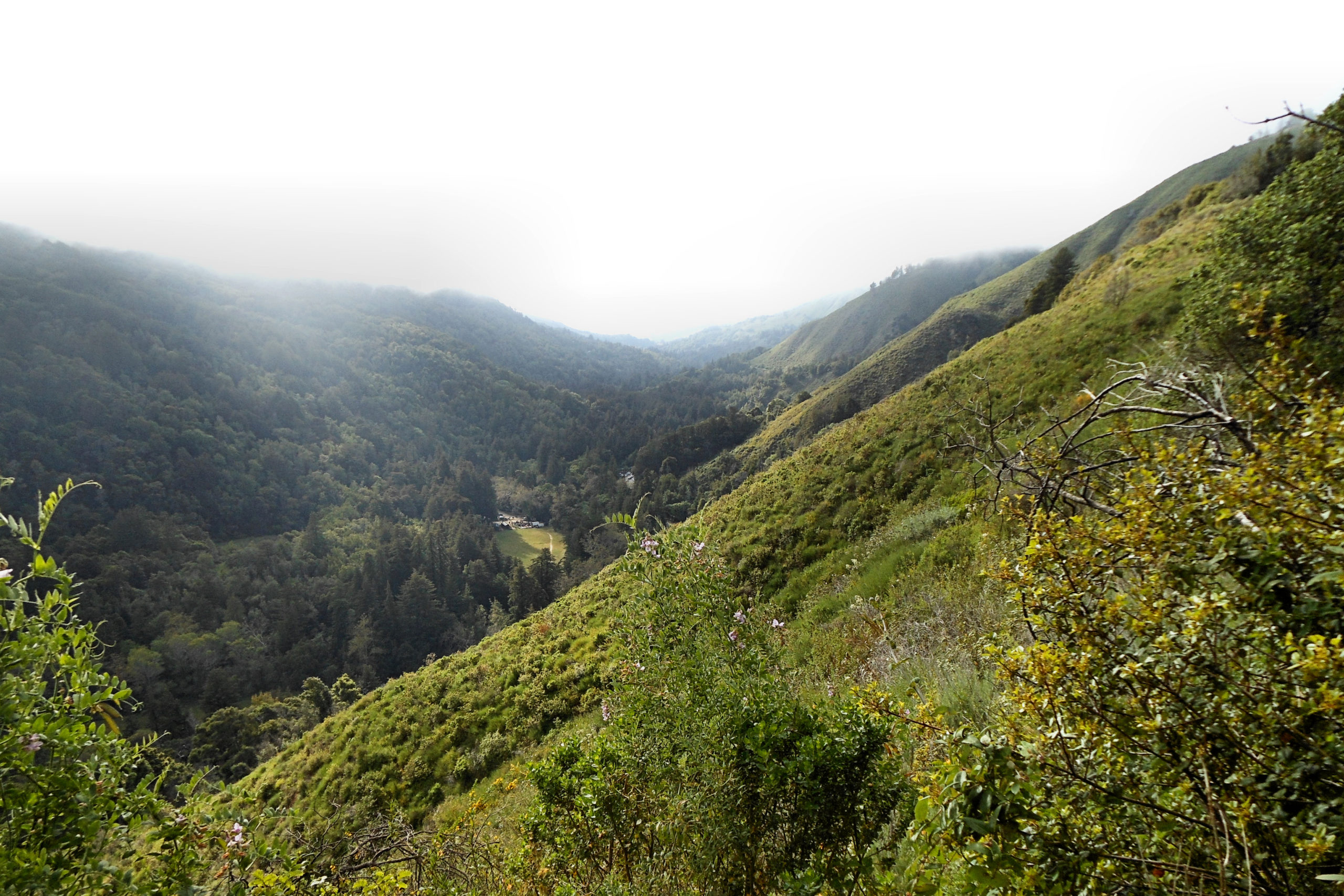
A view of Big Sur Valley from Pfeiffer State Park
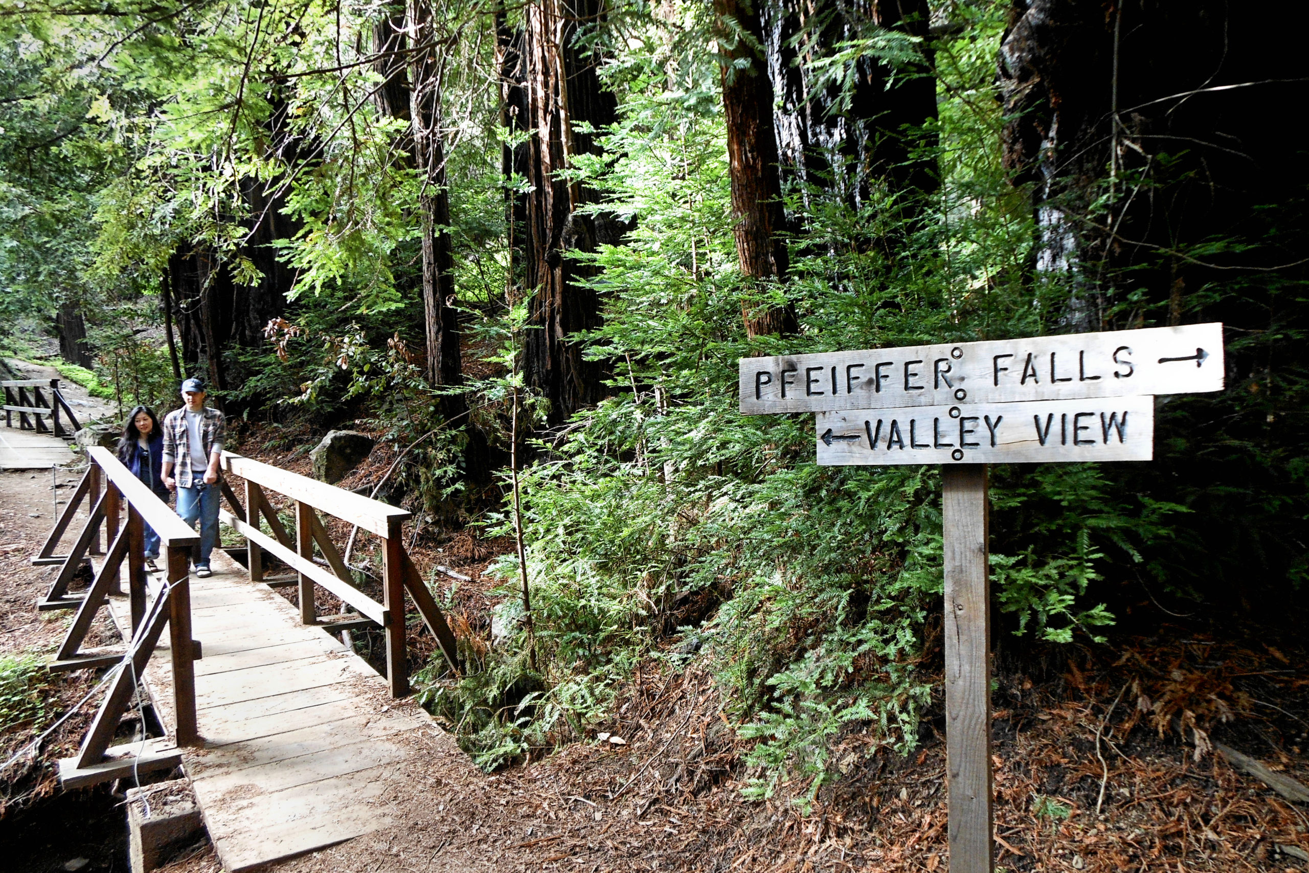
The path to Pfeiffer Falls
“Continuing further south along Highway 1, the historic Deetjen’s Big Sur Inn provides a perfect spot for lodging or a great meal. (Be sure to make reservations well in advance!) The candle and fireplace-lit interior of the old site and period décor are especially appealing. Cabins were originally designed and built by Grandpa Deetjen from the 1930’s. Employing the architectural style of his native Norway, Deetjen developed what is now known as the “Big Sur style.” Each room or cabin is completely unique, decorated with rustic treasures and views of Redwood forests.”
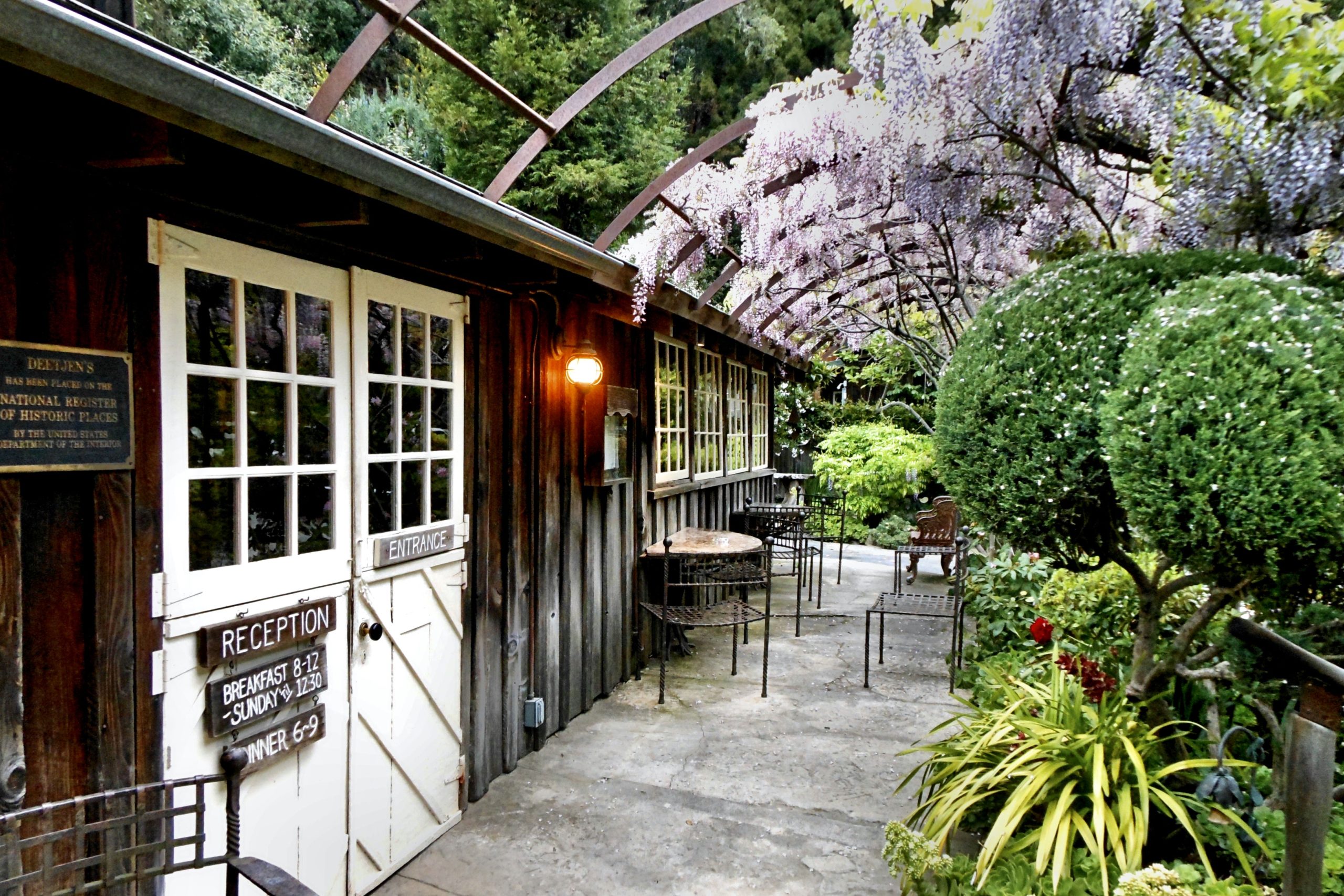
Historic Deetjen’s Big Sur Inn & Restaurant
On the drive down from Point Lobos to Pfeiffer Big Sur State Park, it’s easy to see why the stretch of Highway 1 through Big Sur is recognized internationally as one of the world’s most beautiful highways. “Given the ever-changing and mesmerizing views of the spectacular coastline and mountains, there are numerous opportunities for photographers hoping to capture that perfect landscape shot or, coastal fog permitting, a spectacular sunset.”

Scott McIntire is an engineer who has worked in the aerospace and automotive industries, but whose true passion is traveling. He enjoys sharing his experiences on the road and abroad through his photos, videos and travel writing, and contributes to the travel blog globosapiens.net. He has also contributed several articles on Southeast Asia to Travel Curious Often: Myanmar: The Shwedagon Pagoda; Vietnam: Bac Ha Sunday Market & Sapa Town


